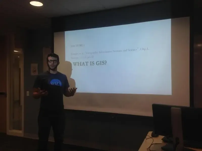
Hello World, I'm John!

As a highly skilled software engineer, I have a wealth of experience blending GIS domain knowledge with software development to create stunning and efficient geospatial applications. My academic background includes a bachelor's degree in GIS and Remote Sensing from U.C.S.B., where I had the privilege of studying under renowned thought leaders Michael Goodchild and Waldo Tobler. I further honed my skills with an M.S. in Geoinformatics and Geospatial Intelligence at George Mason University. After graduation, I played a pivotal role in launching one of the world's most viewed geospatial web applications, ArcGIS Dashboards, as a product engineer at Esri.
After Esri, I spent a year as an Integration Consultant at a business intelligence startup called YellowfinBI, which was acquired by Idera Inc. in 2022. I left Yellowfin after the acquisition to work on this blog while also raising my son, Justice Solly was born on 2/20/22. Six months later, I joined University of Maryland as a Senior Geospatial Developer for the EASIER Data Initiative, a UMD project in collaboration with the Filecoin Foundation For the Decentralized Web. I was responsible for developing infrastructure that enables efficient, accessible, and sustainable onloading, analysis, and extraction of large geospatial datasets into blockchain-managed decentralized storage systems such as Filecoin and IPFS. During my time there, I authored a comprehensive technical guide demonstrating how to leverage IPFS for processing Landsat imagery and calculating vegetation indices.
In Fall 2023, I joined NLT as a senior software engineer, contributing to some of NLT's largest and most influential contracts. One of my major projects was a web-based geospatial application for the Census Enterprise Dissemination Services and Consumer Innovation (CEDSCI) division of the the U.S. Census Bureau. I also led development on a serverless application for the World Bank that visualizes Vietnam's strategies for carbon emission reduction. This project, built with Vue.js and TypeScript and deployed on AWS using Terraform, transformed complex Excel data into an interactive web platform. I implemented dynamic model output functionality and added administrative CRUD operations using AWS Cognito, significantly enhancing user interaction and data visualization capabilities.
Currently, I work as a Software Engineer at HazardHub, A Guidewire Offering, where I lead and maintain our location services microservice. HazardHub is a leader in the P&C insurance industry, providing comprehensive property risk assessment through APIs that analyze over 1,400 risk factors for any U.S. address. My role involves architecting and maintaining critical infrastructure that powers organization-wide geocoding, routing, and geospatial transformations, handling millions of monthly API requests. I also design and implement ETL workflows that process terabytes of geospatial data from various formats, and manage cloud infrastructure using Terraform on AWS, ensuring our services remain scalable, secure, and cost-efficient.
If you're facing complex geospatial challenges that require an experienced developer's expertise, feel free to drop me a message. Let's connect and find the perfect fit for a successful collaboration!
Testimonials
Taylor Oshan
Direct Manager
University of Maryland - 2023
John is a talented geospatial developer and a capable leader

Amy Brazil
Direct Manager
YellowfinBI - 2022
I'd hire him back in a heartbeat.

Craig Utley
Direct Manager
YellowfinBI - 2022
John delivered for customers, documented his findings, and earned the respect of his peers

Meredith Bean
Undergraduate Student
GMU - 2016
John was an extraordinary TA to me as a student in an introductory GIS class.

Kathryn Thorpe
Coworker
YellowfinBI - 2022
John is amazingly bright, levelheaded, and goal-oriented.
Let's Build Something Together!
Looking to enhance your development team with a skilled individual contributor? Connect with me to discover how I can contribute to the success of your organization's projects.